| | 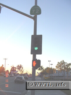
(Westbound Whittier Boulevard; La Habra, California)
--Photo taken by Carlos Rogers c. 2000s ✔
Viatype:S4-D
Map Location: 33.93989, -117.96799
State Route 72 acts as a secondary
artery in Los Angeles and Orange Counties. The route is poorly-signed
throughout its entire journey. As of 2004, State Route 72's eastern terminus has
been truncated to the western edge of La Habra. The routing into eastern
La Habra has now been annexed as part of State Route 39
.
| |