| 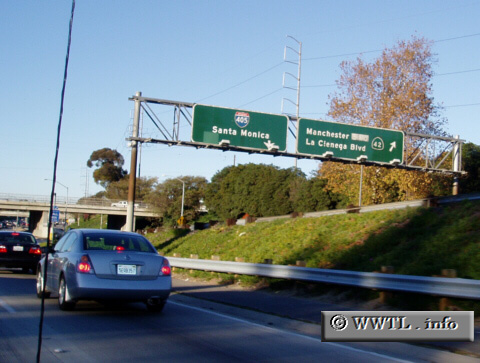
(Junction former State Route 42 @ Interstate 405 north;
Inglewood, California)
--Photo taken by Dan Peri c. 2000s ✔
Viatype:F4-D
Map Location: 33.95814, -118.36903
State Route 42 is a decommissioned route
in Los Angeles County. It used to overlay Manchester Avenue (now Boulevard)
and Firestone Boulevard Interestingly, the California Department of
Transportation ("CalTrans") has not removed State Route 42 overheads from its
intersecting Interstates.
Next
photo>>>
| |