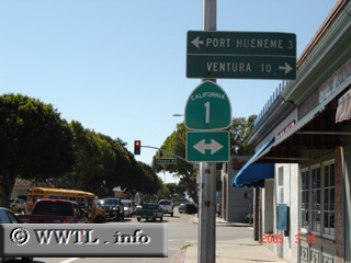
(End westbound State Route 34; Oxnard, California)
--Photo taken by Carlos Rogers in 2005 ✔
Viatype:S4-D
Map Location: 34.19769, -119.17702![]()
Junction State Route 1. This intersection marks a vibrant Latino-American
neighbourhood, full of cultural goods and services.
Distance Chart for
California 34
California 34
| Camarillo, California | |||||
| 16 | Oxnard, California | ||||
| 6 | 22 | Somis, California | |||
Approximate distance in km
(1 km = 0.621 miles)
(1 km = 0.621 miles)