| | 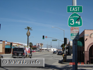
(Eastbound 5th Street.; Oxnard, California)
--Photo taken by Carlos Rogers in 2005 ✔
Viatype:S4-D
Map Location: 34.19769, -119.17702
Highway 34 connects the downtown of Oxnard with Somis & State Route 118.
The route gets roughly bisected by the Ventura Freeway, Federal Route 101.
Next
photo>>>
| |