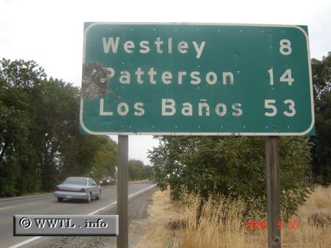
(Southbound State Route 33; San Joaquin-Stanislaus County line, California)
--Photo taken by Carlos Rogers in 2006 ✔
Viatype:S2-U
Map Location: 37.04703, -120.63559
In Spanish, it's rather humorous that an improperly placed enye can cause a city named "The Springs" to mean "The Bathrooms".
Distance Chart for
California 33
California 33
| Coalinga, California | |||||||
| 132 | Los Banos, California | ||||||
| 247 | 108 | Tracy, California | |||||
| 291 | 416 | 524 | Ventura, California | ||||
Approximate distance in km
(1 km = 0.621 miles)
(1 km = 0.621 miles)