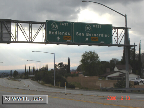
(End Southbound State Route 330; Highland, California)
--Photo taken by Carlos Rogers in 2006 ✔
Viatype:F4-D
Map Location: 34.13171, -117.19895![]()
End southbound State Route 330. Here, two iterations of State Route 30 battle to be your
conduit.
Distance Chart for
California 330
California 330
| Highland, California | |||||
| 26 | Running Springs, California | ||||
| 22 | 3.8 | Small Canyon, San Bernardino | |||
Approximate distance in km
(1 km = 0.621 miles)
(1 km = 0.621 miles)