| | 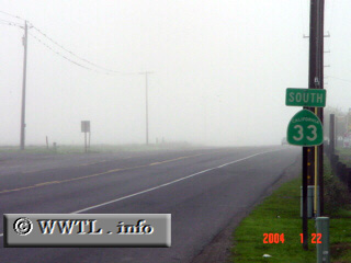
(Southbound State Route 33; Santa Nella, California)
--Photo taken by Carlos Rogers in 2006 ✔
Viatype:S2-U
Map Location: 37.10015, -121.01591
Travelling through Highway 33 in the morning can be a bit tricky, as evidenced
by the Tule fog above.
Next photo>>>
|
|