(Junction Interstate 880 and State Route 262; Fremont, California)
--Photo taken by Eric Lozaga c. 2000s ✔
Map Location: 37.48597, -121.94023![]()
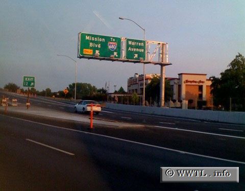
Here is the beginning of eastbound California 262, as of July 2008.
Distance Chart for
California 262
California 262
| Junction Interstate 680 | |||||
| 1.9 | Junction Interstate 880 | ||||
| 0.8 | 1.1 | Warm Springs, Fremont | |||
Approximate distance in km
(1 km = 0.621 miles)
(1 km = 0.621 miles)