| | 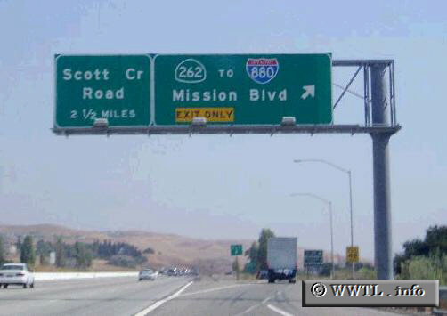
(Junction Interstate 680 and State Route 262.; Fremont, California)
--Photo taken by Dan Peri c. 2000s ✔
Viatype:F4-D
Map Location: 37.49992, -121.92852
State Route 262 is probably the
shortest urban highway in California. It is roughly a mile long, but
despite its short length, is heavily traveled.
Next Page>>>
|
|