| | 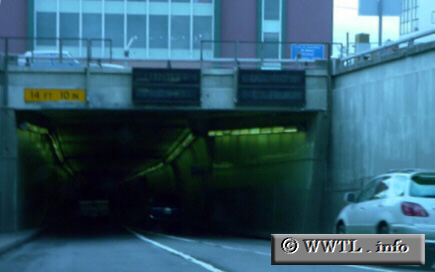
(Westbound State Route 260; Oakland, California)
--Photo taken by Carlos Rogers c. 2000s ✔
Viatype:F4-D
Map Location: 37.7967, -122.27326
State Route 260 is an unsigned-route
which spans from Oakland to Alameda. Since the two cities are separated by
water, State Route 260 connects the two via underwater-tunnels. The westbound
tunnel (pictured above) is known as the Webster Tube.
Next
photo>>>
|
|