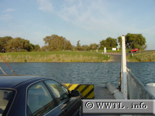
(Eastbound State Route 220; J-Mack Ferry, Solano-Sacramento
County line, California)
--Photo taken by Carlos Rogers c. 2000s ✔
Viatype:S2-U
Map Location: 38.23652, -121.60329![]()
This toll-free ferry transports motorists to and from Solano and Sacramento Counties.
Next
photo>>>
<<<Previous
photo
Distance Chart for
California 4
California 4
| Antioch, California | |||||||
| 46 | Hercules, California | ||||||
| 270 | 316 | Markleeville, California | |||||
| 60 | 106 | 210 | Stockton, California | ||||
Approximate distance in km
(1 km = 0.621 miles)
(1 km = 0.621 miles)