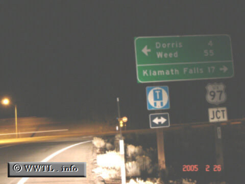
(Junction Federal Route 97; Siskiyou County, California)
--Photo taken by Carlos Rogers c. 2000s ✔
Map Location: 42.00006, -121.8917![]()
If turning left, a fifty-mile trek will put you into the vicinity of Mt.
Shasta--the second-tallest mountain in the Cascade Range (elevation 14,162
ft.). Else, you may turn right, and within a mile or so, cross the Oregon
border.
Distance Chart for
California 161
California 161
| Ainsworth Corner, Sacramento | |||||
| 33 | Dorris, California | ||||
| 3.4 | 36 | Hatfield, California | |||
Approximate distance in km
(1 km = 0.621 miles)
(1 km = 0.621 miles)