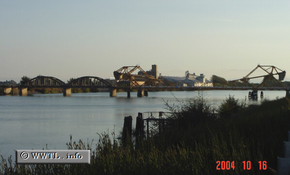
(State Route 160 bridge-crossing; near Isleton, California)
--Photo taken by Carlos Rogers c. 2000s ✔
Map Location: 38.17195, -121.59372![]()
This bridge, just to the north of Isleton, was designed in the early 1900s. To this very day, it still receives state funding!
Next
photo>>>
<<<Previous
photo
Distance Chart for
California 160
California 160
| Antioch, California | |||||
| 28 | Rio Vista, California | ||||
| 74 | 102 | Sacramento, California | |||
Approximate distance in km
(1 km = 0.621 miles)
(1 km = 0.621 miles)