| | 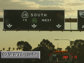
(Southbound State Route 15; San Diego, California)
--Photo taken by Carlos Rogers c. 2000s ✔
Viatype:F8-D
Map Location: 32.74183, -117.11257
State Highway 15 stretches from
the US Naval Station (in downtown San Diego) to its terminus w/ Interstates 8
and 15. One day, Interstate 15 will annex the entire length of State Route
15; at the moment, the annexation is being considered by the American Assocation
of State Highways and Transportation Officials (AASHTO).
Next
photo>>>
| |