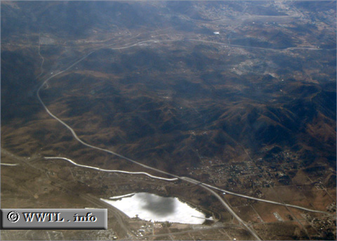
(Southbound Antelope Valley Freeway; Los Angeles
County, California)
--Photo taken by Carlos Rogers in 2006 ✔
Map Location: 34.50305, -118.11766![]()
On approach to her southern
terminus, the route goes through a modified ninety-degree curve through the San
Gabriel Mountains.
<<<Previous
photo
![]()
![]()
![]()
![]()
Distance Chart for
California 14
California 14
| Lancaster, California | |||||||
| 42 | Mojave, California | ||||||
| 140 | 97 | Ridgecrest, California | |||||
| 70 | 111 | 201 | Santa Clarita, California | ||||
Approximate distance in km
(1 km = 0.621 miles)
(1 km = 0.621 miles)