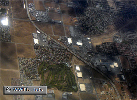
(Southbound Antelope Valley Freeway; Palmdale, California)
--Photo taken by Carlos Rogers in 2006 ✔
Map Location: 34.60303, -118.14447![]()
The route has a smooth, gradual
curve in the city of Palmdale.
Next photo>>>
<<<Previous
photo
![]()
![]()
![]()
![]()
Distance Chart for
California 14
California 14
| Lancaster, California | |||||||
| 42 | Mojave, California | ||||||
| 140 | 97 | Ridgecrest, California | |||||
| 70 | 111 | 201 | Santa Clarita, California | ||||
Approximate distance in km
(1 km = 0.621 miles)
(1 km = 0.621 miles)