| | 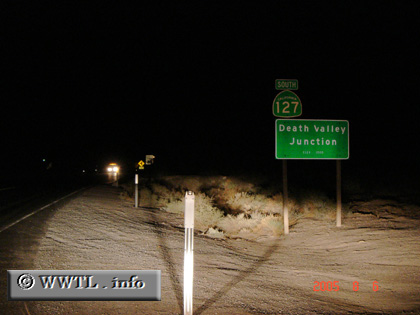
(Southbound State Route 127; Death Valley Junction, California)
--Photo taken by Carlos Rogers in 2005 ✔
Viatype:S2-U
Map Location: 36.30448, -116.41519
State Route 127 skirts the eastern boundary of Death Valley National Park.
Throughout the region, high temperatures, strong wind and scarce life create an
eerie feeling.
Next
photo>>>
| |