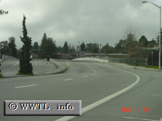
(Westbound Water Street; Santa Cruz, California)
--Photo taken by Carlos Rogers c. 2000s ✔
Viatype:F4-D
Map Location: 36.97888, -122.02369![]()
Since the CSHC vaguely defines State Route 100's western terminus, two logical
candidates stand out:
a) via Water Street (multi-laned boulevard crossing the San Lorenzo River).
b) via San Lorenzo Boulevard and Laurel Street
<<<Previous
photo
Distance Chart for
California 100
California 100
| Junction California 1 | |||||
| 2.1 | Junction California 17 | ||||
| 1.9 | 0.2 | Santa Cruz, California | |||
Approximate distance in km
(1 km = 0.621 miles)
(1 km = 0.621 miles)