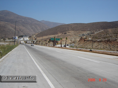
(End Northbound State Route 201; Tijuana, Baja
California)
--Photo taken by Carlos Rogers in 2006 ✔
Viatype:S4-D
Map Location: 32.53943, -116.85602![]()
English |
español
Those green signs mark the route's northern terminus.
Next photo>>>
<<<Previous
photo
Distance Chart for
Baja California 201
Baja California 201
| El Refugio, Tijuana | |||||
| 9 | Junction Federal Route 2D | ||||
| 33 | 42 | Popotla, Rosarito | |||
Approximate distance in km
(1 km = 0.621 miles)
(1 km = 0.621 miles)