| | 
(Junction State Route 201; Tijuana, Baja California)
--Photo taken by Carlos Rogers in 2006 ✔
Viatype:F4-D
Map Location: 32.54221, -116.85893
English |
español
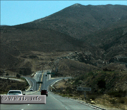
State Route 201, also known as Boulevard 2000, connects the Rosarito seaport with
Federal Route 2D. Pictured above is an offramp from eastbound Federal Route 2D onto the
beginning of Route 201.
Next photo>>>
| |