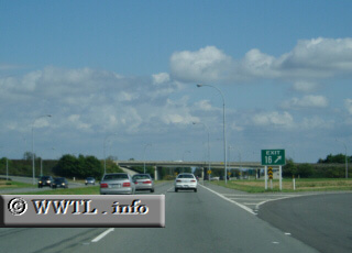
(Southbound Route 99 Freeway; Richmond, British Columbia)
--Photo taken by Dan Peri c. 2000s ✔
Viatype:F4-D
Map Location: 49.09193, -122.90015![]()
English | français
The font-selection for "16" seems rather unique.
Next
photo>>>
<<<Previous
photo
Distance Chart for
British Columbia 99
British Columbia 99
| Lillooet | |||||||||
| 100 | Pemberton | ||||||||
| 189 | 91 | Squamish | |||||||
| 252 | 153 | 64 | Vancouver | ||||||
| 131 | 33 | 59 | 121 | Whistler | |||||
Approximate distance in km
(1 km = 0.621 miles)
(1 km = 0.621 miles)