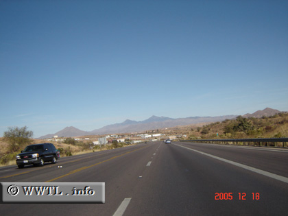
(Eastbound State Route 189; Nogales, Arizona)
--Photo taken by Carlos Rogers in 2005 ✔
Viatype:S4-D
Map Location: 31.34274, -110.96677![]()
After a motorist crosses into the United States and exits customs, the scenery above offers first glimpses of Americana.
<<<Previous photo
![]()
![]()
![]()
![]()
Distance Chart for
Arizona 189
Arizona 189
| Junction Interstate 19 | |||
| 11 | México-U.S. Border | ||
Approximate distance in km
(1 km = 0.621 miles)
(1 km = 0.621 miles)