| | 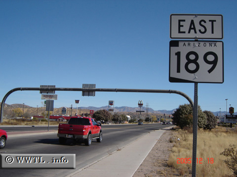
(Eastbound Mariposa Road; Nogales, Arizona)
--Photo taken by Carlos Rogers in 2005 ✔
Viatype:S4-D
Map Location: 31.36548, -110.94232
The purpose of Arizona State Route 189 is to
connect the northern periphery of Nogales with a secondary
border-crossing into Sonora, México.
Next photo>>>
| |