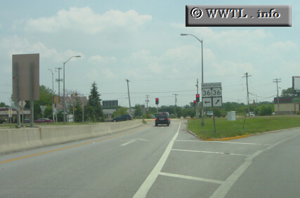
(Junction Wisconsin State Route 36 via Interstate 43/894 offramp; Greenfield, Wisconsin)
--Photo taken by Carlos Rogers c. 2000s ✔
Map Location: 42.962756, -87.96906![]()
Your choice: north or south?
Distance Chart for
Wisconsin 36
Wisconsin 36
| Burlington | |||||||||
| 31 | Franklin | ||||||||
| 51 | 39 | Lyons | |||||||
| 64 | 22 | 44 | Milwaukee | ||||||
| 74 | 28 | 28 | 44 | Wind Lake | |||||
Approximate distance in km
(1 km = 0.621 miles)
(1 km = 0.621 miles)