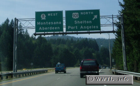
(Junction Washington State Route 8; Thurston County, Washington State)
--Photo taken by Dan Peri c. 2000s ✔
Viatype:F4-D
Map Location: 47.056, -123.0095
Highway 8 is a divided-highway which connects Olympia with westbound Federal Route 12.
Distance Chart for State Route 8
Approximate distance in km (1 km = 0.621 miles) | |||||||||||||||||||||||||||||||||||||||||||||||||||