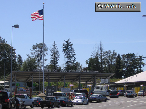
(Pacific Crossing; USA-Canada border)
--Photo taken by Dan Peri in 2005 ✔
Viatype:S4-D
Map Location: 49.00209, -122.73573
Welcome to the Pacific Crossing--it's the second busiest port-of-entry between British Columbia and Washington. Not coincidentally, this location marks the beginning of unsigned Washington State Route 543.
Distance Chart for
State Route 543
State Route 543
| Blaine | |||
| 2 | Douglas | ||
Approximate distance in km
(1 km = 0.621 miles)
(1 km = 0.621 miles)