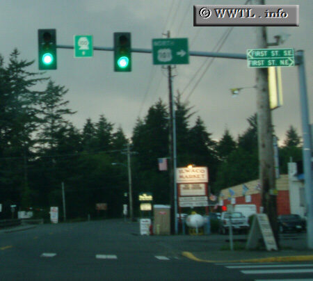
(Northbound State Route 100; Ilwaco, Washington State)
--Photo taken by Dan Peri c. 2000s ✔
Viatype:S2-U
Map Location: 46.30887, -124.0434
Highway 100 serves as a short highway connector in Ilwaco. While traffic-volume is not particularily high, it serves as a viable artery for this forested town and the nearby Fort Canby State ParkUnited States
Distance Chart for
State Route 100
State Route 100
| Cape Disappointment State Park | |||
| 4.5 | Ilwaco | ||
Approximate distance in km
(1 km = 0.621 miles)
(1 km = 0.621 miles)