--Photo taken by Carlos Rogers c. 2000s ✔
Viatype:S2-U
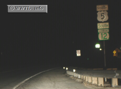
Map Location: 43.52948, -72.40377
Vermont State Route 12 straddles the Connecticut River for a majority of its southern routing. At Hartland, the route spurs to the northwest and offers motorists a path to Morrisville in the northern state.
Distance Chart for
Vermont 12
Vermont 12
| Ascutney | |||||||||
| 120 | Montpelier | ||||||||
| 163 | 43 | Morrisville | |||||||
| 77 | 86 | 43 | Randolph | ||||||
| 36 | 85 | 128 | 42 | Woodstock | |||||
Approximate distance in km
(1 km = 0.621 miles)
(1 km = 0.621 miles)