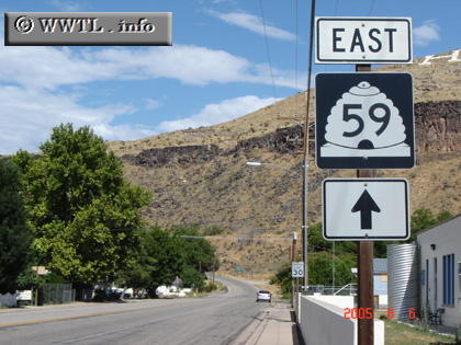
(Eastbound E. 100 S; Hurricane, Utah)
--Photo taken by Carlos Rogers in 2005 ✔
Viatype:S2-U
Map Location: 37.17495, -113.28805
Route 59, located in southwestern Utah, is actually part of a larger-planned corridor. Once the route crosses into Arizona, it transitions into Arizona Route 389, which transitions into Alternate Federal Route 89. Once you're on Alt. 89, there's easy access to the Grand Canyon anf Vermillion Cliffs National Monument.
Distance Chart for
Utah 59
Utah 59
| Apple Valley | |||||
| 39 | Colorado City, Arizona | ||||
| 26 | 18 | Hurricane | |||
Approximate distance in km
(1 km = 0.621 miles)
(1 km = 0.621 miles)