--Photo taken by Chris Elbert c. 2000s ✔
Viatype:S4-D
Map Location: 40.31302, -111.65534
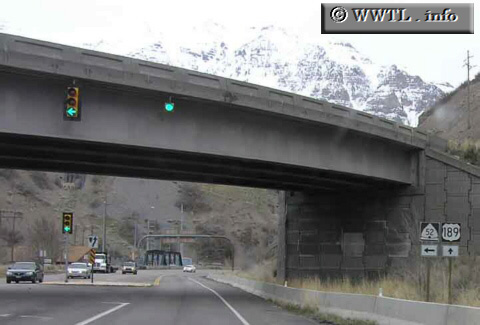
State Route 52, also known as 800 North Street in Provo, is a cut-off between Federal Route 189 and Interstate 15.
Distance Chart for
Utah 52
Utah 52
| Junction Federal Route 189 | |||||
| 3.9 | Junction Interstate 15 | ||||
| 6.0 | 2.1 | Orem | |||
Approximate distance in km
(1 km = 0.621 miles)
(1 km = 0.621 miles)