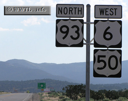
(Northbound US Federal Route 93/Eastbound US Federal Route 6/Federal Route 50; Ely, Nevada)
--Photo taken by Chris Elbert in 2005 ✔
Viatype:S4-D
Due to the unique and rugged characteristics of White Pine County, three federal routes converge for the course of twenty-seven miles.
Distance Chart for
Federal Route 93
Federal Route 93
| Eureka, Montana | |||||||||
| 1971 | Las Vegas | ||||||||
| 481 | 1451 | Missoula, Montana | |||||||
| 1103 | 868 | 622 | Twin Falls, Idaho | ||||||
| 2345 | 374 | 1864 | 1242 | Wickenburg, Arizona | |||||
Approximate distance in km
(1 km = 0.621 miles)
(1 km = 0.621 miles)