--Photo taken by Chris Elbert c. 2000s ✔
Viatype:S4-D
Map Location: 39.15833, -111.81821
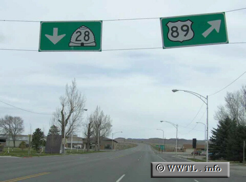
Federal Route 89 provides a connection between Flagstaff, AZ and Alberta, Canada. In this local photograph, Federal Route 89 bends to the right as UY-28 begins its northerly journey.
Distance Chart for
Federal Route 89
Federal Route 89
| Babb, Montana | |||||||||
| 2015 | Flagstaff, Arizona | ||||||||
| 1254 | 761 | Provo, Utah | |||||||
| 1182 | 833 | 72 | Salt Lake City, Utah | ||||||
| 492 | 1523 | 862 | 690 | Yellowstone Natl Park | |||||
Approximate distance in km
(1 km = 0.621 miles)
(1 km = 0.621 miles)