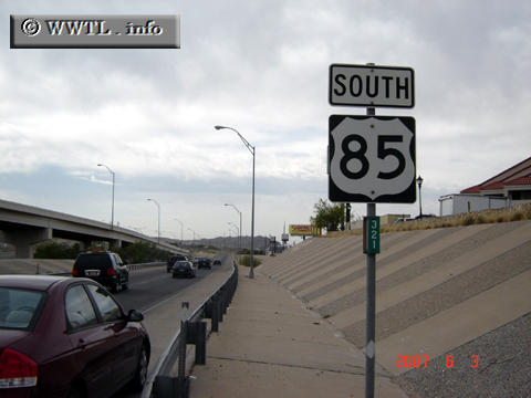
(Junction Paisano Drive; El Paso, Texas)
--Photo taken by Carlos Rogers in 2007 ✔
Map Location: 31.8144, -106.54987![]()
Federal Route 85, in its purest state, would have been one of the greatest federal routes in the American west. As the Interstate highway system began construction in the mid-portions of the 20th century, much of Federal Route 85's path was condemned by the introduction of Interstates 10 and 25. Today, the federal route's path is largely composed of a border-straddling segment between Texas and Chihuahua, and a healthy roll through the prairies of the Dakotas.
Distance Chart for
Federal Route 85
Federal Route 85
| Albuquerque, New Mexico | |||||||||
| 893 | Cheyenne, Wyoming | ||||||||
| 716 | 178 | Denver, Colorado | |||||||
| 429 | 1114 | 1114 | El Paso, Texas | ||||||
| 1961 | 1058 | 1236 | 2300 | Fortuna, North Dakota | |||||
Approximate distance in km
(1 km = 0.621 miles)
(1 km = 0.621 miles)