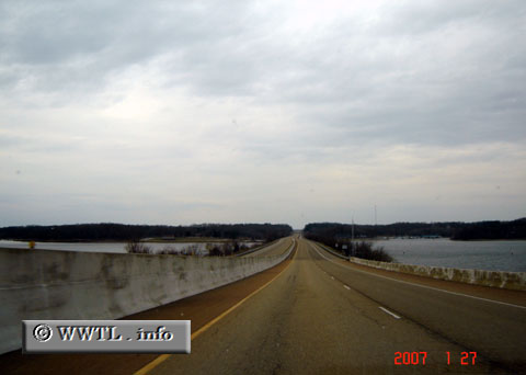
(Southbound US Federal Route 79; Henry County, Tennessee)
--Photo taken by Carlos Rogers in 2007 ✔
Viatype:F4-D
Map Location: 36.44327, -88.06477![]()
Here, the route crosses the Tennessee River.
Distance Chart for
Federal Route 79
Federal Route 79
| Memphis | |||||||||
| 239 | Pine Bluff, Arkansas | ||||||||
| 1029 | 789 | Round Rock, Texas | |||||||
| 340 | 587 | 1376 | Russellville, Kentucky | ||||||
| 548 | 309 | 480 | 896 | Shreveport, Louisiana | |||||
Approximate distance in km
(1 km = 0.621 miles)
(1 km = 0.621 miles)