(Eastbound US Federal Route 6; Mineral County, Nevada)
--Photo taken by Fred Abse c. 2000s ✔
Viatype:S4-DMap
Location:
38.01073, -118.27535![]()
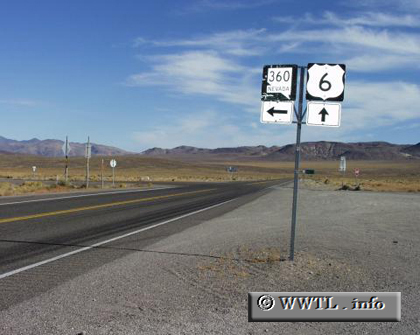
Just northeast of Montgomery Pass, Nevada State Route 360 appears. This three-digit route climbs through rugged terrain to connect motorists with the town of Luning.
Next photo>>>
<<<Previous photo
Distance Chart for
Federal Route 6
Federal Route 6
| Bishop, California | |||||||||
| 3300 | Chicago, Illinois | ||||||||
| 1627 | 1673 | Denver, Colorado | |||||||
| 1075 | 2225 | 552 | Green River, Utah | ||||||
| 5140 | 1840 | 3513 | 4065 | Provincetown, Mass. | |||||
Approximate distance in km
(1 km = 0.621 miles)
(1 km = 0.621 miles)