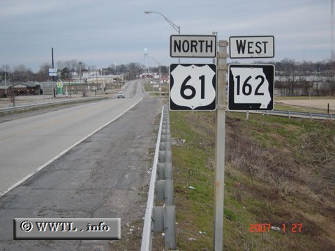
(Westbound E. Main Street; Portageville, Missouri)
--Photo taken by Carlos Rogers in 2007 ✔
Viatype:S4-D
Map Location: 36.42449, -89.688
Federal Route 61 snakes a north-south path between the major cities of New Orléans, LA and Saint-Paul, MN.
Distance Chart for
Federal Route 61
Federal Route 61
| Davenport, Iowa | |||||||||
| 977 | Memphis | ||||||||
| 1730 | 753 | New Orleans | |||||||
| 1474 | 641 | 1062 | Saint Louis, Missouri | ||||||
| 523 | 1500 | 2253 | 997 | Wyoming, Minnesota | |||||
Approximate distance in km
(1 km = 0.621 miles)
(1 km = 0.621 miles)