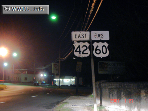
(Eastbound Main Street; Louisville, Kentucky)
--Photo taken by Carlos Rogers in 2007 ✔
Viatype:S2-U
Map Location: 38.25352, -85.72779
Federal Route 42 straddles the Ohio River on its westernmost stretches. She eventually crosses north of the Ohio River and then towards Cleveland.
Distance Chart for Federal Route 42
Approximate distance in km (1 km = 0.621 miles) | |||||||||||||||||||||||||||||||||||||||||||||||||||||

