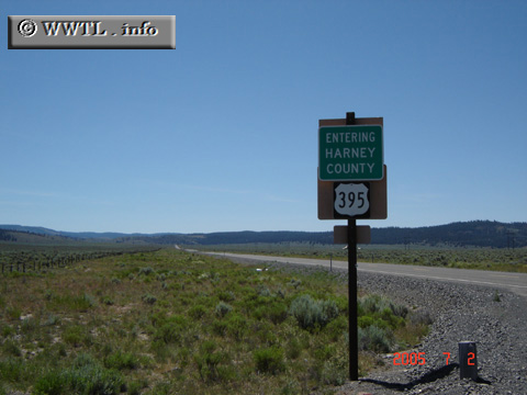
(Junction Federal Route 20/Federal Route 395 duplex; Harney County, Oregon)
--Photo taken by Carlos Rogers in 2005 ✔
Viatype:S2-U
At Oregon's county crossings, micro-sized US-shields get added to the signage.
Distance Chart for
Federal Route 395
Federal Route 395
| Burns, Oregon | |||||||||
| 1294 | Hesperia, California | ||||||||
| 806 | 2100 | Laurier, Washington State | |||||||
| 692 | 820 | 1033 | Reno, Nevada | ||||||
| 431 | 1725 | 375 | 1033 | Yakima, Washington State | |||||
Approximate distance in km
(1 km = 0.621 miles)
(1 km = 0.621 miles)