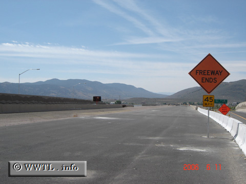
(Southbound US Federal Route 395 Freeway; Carson City, Nevada)
--Photo taken by Carlos Rogers in 2006 ✔
Viatype:F4-D
Map Location: 39.17879, -119.74292![]()
One day, this freeway will extend towards the southern limits of town, providing direct access into the Spooner Summit highway (Federal Route 50).
Next
photo>>>
<<<Previous
photo
Distance Chart for
Federal Route 395
Federal Route 395
| Burns, Oregon | |||||||||
| 1294 | Hesperia, California | ||||||||
| 806 | 2100 | Laurier, Washington State | |||||||
| 692 | 820 | 1033 | Reno, Nevada | ||||||
| 431 | 1725 | 375 | 1033 | Yakima, Washington State | |||||
Approximate distance in km
(1 km = 0.621 miles)
(1 km = 0.621 miles)