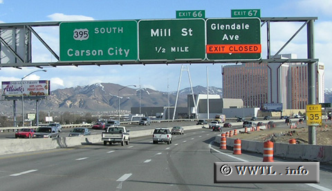
(Southbound Federal Route 395 Freeway; Reno, Nevada)
--Photo taken by Chris Elbert in 2005 ✔
Viatype:F8-D
Map Location: 39.53074, -119.78558
Federal Route 395 is a major western highway, which passes through eastern California, western Nevada, and the eastern portions of Oregon and Washington.
Distance Chart for Federal Route 395
Approximate distance in km (1 km = 0.621 miles) | |||||||||||||||||||||||||||||||||||||||||||||||||||||

