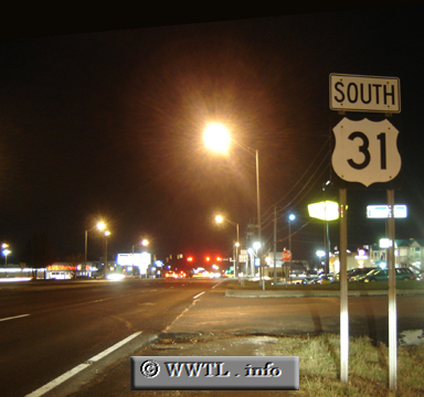
(Southbound East Street; Indianapolis, Indiana)
--Photo taken by Carlos Rogers in 2007 ✔
Viatype:S6-D
Map Location: 39.69519, -86.148871
Federal Route 31 connects the respective outskirts of Mackinaw City, MI and Mobile, AL.
Distance Chart for Federal Route 31
Approximate distance in km (1 km = 0.621 miles) | |||||||||||||||||||||||||||||||||||||||||||||||||||||

