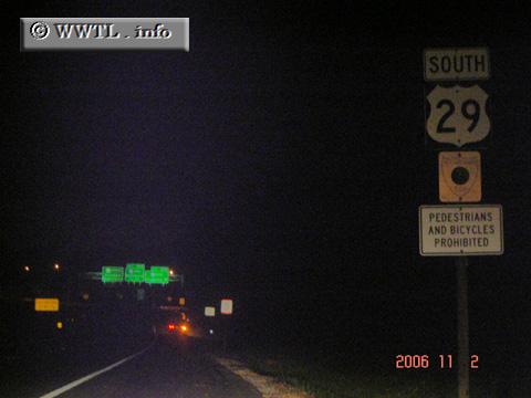
(Beginning of Southbound Columbia Pike; Mount Hebron, Maryland)
--Photo taken by Carlos Rogers in 2006 ✔
Viatype:F4-D
Map Location: 39.30154, -76.82501
Federal Route 29 spans from the Gulf of Mexico, via Pensacola, Florida with Mount Hebron, Maryland. The route goes through La Grange, GA and Washington, DC along the way.
Distance Chart for
Federal Route 29
Federal Route 29
| Atlanta | |||||||||
| 429 | Charlotte, North Carolina | ||||||||
| 1285 | 856 | Ellicott City, Maryland | |||||||
| 570 | 1399 | 1655 | Pensacola, Florida | ||||||
| 1235 | 806 | 50 | 1805 | Washington, DC | |||||
Approximate distance in km
(1 km = 0.621 miles)
(1 km = 0.621 miles)