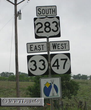
(Southbound US Federal Route 283/Eastbound Oklahoma State Route 33/Westbound Oklahoma State Route 47; Black Kettle Nat'l Grassland, Oklahoma)
--Photo taken by Chris Elbert c. 2000s ✔
Viatype:S2-U
Federal Route 283 funnels traffic from Texas to Nebraska. In the state of Oklahoma, the route forms an interesting triplex with OK-33 and OK-47. In fact, this triplex has three directional-banners for one side of traffic.