--Photo taken by Dan Peri in 2005 ✔
Viatype:S4-D
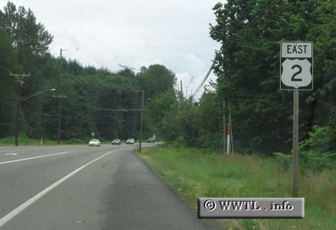
Route 2 runs through the northern ceiling of the continental United States. The route consists of two distinct pieces; the westernmost piece connects the states of Washington, Idaho, Montana, North Dakota, Minnesota, Wisconsin and Michigan. The easternmost piece connects Vermont, New Hampshire and Maine. The two separate pieces can be connected by a mixture of various American and/or Canadian highways. However, since most American traffic uses the Interstate system for transport and eastern Canadian system uses the OT-4xx and Autoroute systems for the same reasons, not too many people traverse both Federal Route 2 pieces--in one trip--for conventional purposes.
Next
photo>>>
![]()
![]()
![]()
![]()
Distance Chart for
Federal Route 2
Federal Route 2
| Duluth, Minnesota | |||||||||
| 2703 | Everett, Washington State | ||||||||
| 424 | 2279 | Grand Forks, North Dakota | |||||||
| 688 | 3392 | 1113 | Saint Ignace, Michigan | ||||||
| 1615 | 1088 | 1191 | 2304 | Shelby, Montana | |||||
Approximate distance in km
(1 km = 0.621 miles)
(1 km = 0.621 miles)