(Westbound US Federal Route 2; Grand Isle County,
Vermont)
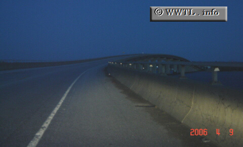
--Photo taken by Carlos Rogers in 2006 ✔
Viatype:F4-D
Map Location: 44.9983, -73.34229![]()
English
| français
At this location, Highway 2 crosses Lake Champlain.
Next
photo>>>
<<<Previous
photo
Distance Chart for
Federal Route 2
Federal Route 2
| Houlton, Maine | |||||||||
| 758 | Lancaster, New Hampshire | ||||||||
| 584 | 113 | Montpelier, Vermont | |||||||
| 718 | 147 | 64 | Houses Point, New York | ||||||
| 516 | 49 | 198 | 64 | St Johnsbury, Vermont | |||||
Approximate distance in km
(1 km = 0.621 miles)
(1 km = 0.621 miles)