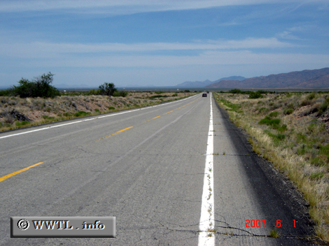
(Southbound US Federal Route 191/Interstate 10 cutoff; Cochise
County, Arizona)
--Photo taken by Carlos Rogers in 2007 ✔
Viatype:S4-DMap Location: 32.38213, -109.65147![]()
Pictured above is the Federal Route 191/Interstate cutoff. Spanning three miles from the first route to the second, the cutoff's objective is to provide a smooth transition from southbound Federal Route 191 to eastbound Interstate 10, and from westbound Interstate 10 to northbound Federal Route 191.
Distance Chart for Federal Route 191 / Interstate 10 Cutoff
Approximate distance in km (1 km = 0.621 miles) | |||||||||||

