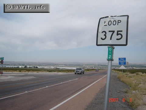
(Westbound Woodrow Bean Transmountain Dr.; El Paso, Texas)
--Photo taken by Carlos Rogers in 2007 ✔
Map Location: 31.90738, -106.56602![]()
Loop Route 375 serves the greater El Paso area. By hugging the region's sharp mountains and international boundary with the Mexican state of Chihuhua, the route holds a ~270 degree path from one terminus to the next.
Distance Chart for
Texas 376
Texas 376
| Canutillo | |||
| 19 | Fort Bliss | ||
Approximate distance in km
(1 km = 0.621 miles)
(1 km = 0.621 miles)