| | 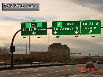
(Westbound 16 Avenue N; Calgary, Alberta)
--Photo taken by Carlos Rogers c. 2000s ✔
Viatype:F4-D
Canada's national highway-system connects British Columbia with the eastern
provinces of Prince Edward Island and Nova Scotia. Number-designations
(e.g., Trans-Canada Route 1 or Trans-Canada Route 100) are optional for any route, and can be arbitrary from one
province to the next. The "westernmost" Trans-Canada Route 1 is the designation
for the provinces of British Columbia, Alberta, Saskatchewan and Manitoba.
At the Ontario border crossing, the number-designation mysteriously
disappears. Rest assured, the Trans-Canada status still carries on into
Ontario, where its branches motorists into the cities of Ottawa and
metro-Toronto.
Next
photo>>>
|
Distance Chart for
Trans-Canada Highway | Calgary, Alberta | | 3976 | | Montréal | | 3377 | | 659 | | Toronto | | 1043 | | 4925 | | 4425 | | Vancouver | | 1318 | | 2658 | | 2058 | | 2367 | | Winnipeg, Manitoba |
Approximate distance in km
(1 km = 0.621 miles)
|