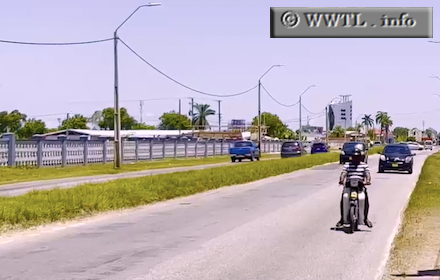
(Westbound Oost-West Verbinding; Paramaribo, Suriname)
--Photo taken by Carlos Rogers c. 2020s ✔
Viatype:S4-D
Map Location: 5.81542, -55.19243
The Oost-West Verbinding (East-West Connector) is the only highway to span the width of Suriname. It traverses coastal land between Guyana and French Guiana, with Paramaribo roughly in the centre.
Next photo>>>
![]()
![]()
![]()
![]()
