|
|
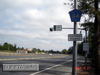
(Northbound San Tomas Expressway; Campbell, California)
--Photo taken by Carlos Rogers in 2007 ✔
Viatype:S6-D
Map Location:
37.29515, -121.96063
Route G4, which serves northern
Santa Clara County, is fundamentally an amalgamation of two distinct
expressways. Between its southern terminus at CA-17 and US Federal Route
101, the route overlays the San Tomas Expressway. North of Federal Route
101, the route bends eastward and becomes known as the Montague
Expressway.
Back to World Map
|
Distance Chart for
Route G4 | Junction California 17 | | 9.1 | | Junction El Camino Real | | 12 | | 2.9 | | Junction Federal Route 101 | | 5.0 | | 4.1 | | 7.0 | | Junction Interstate 280 | | 19 | | 9.9 | | 7.0 | | 14 | | Junction Interstate 880 |
Approximate distance in km
(1 km = 0.621 miles)
|
|